


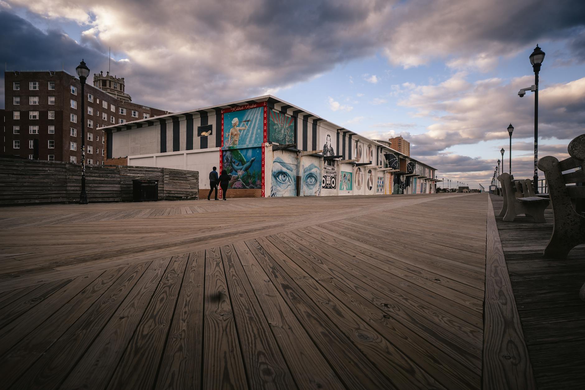


Atlantic City Saw 23 Flood Days in 2024 as Rising Seas Transform Jersey Shore
Atlantic City recorded its highest-ever number of flood days last year, a stark warning of what climate scientists say is coming for the Shore.

The numbers tell a story that anyone who has watched water creep across Atlantic City streets already knows: the flooding is getting worse.
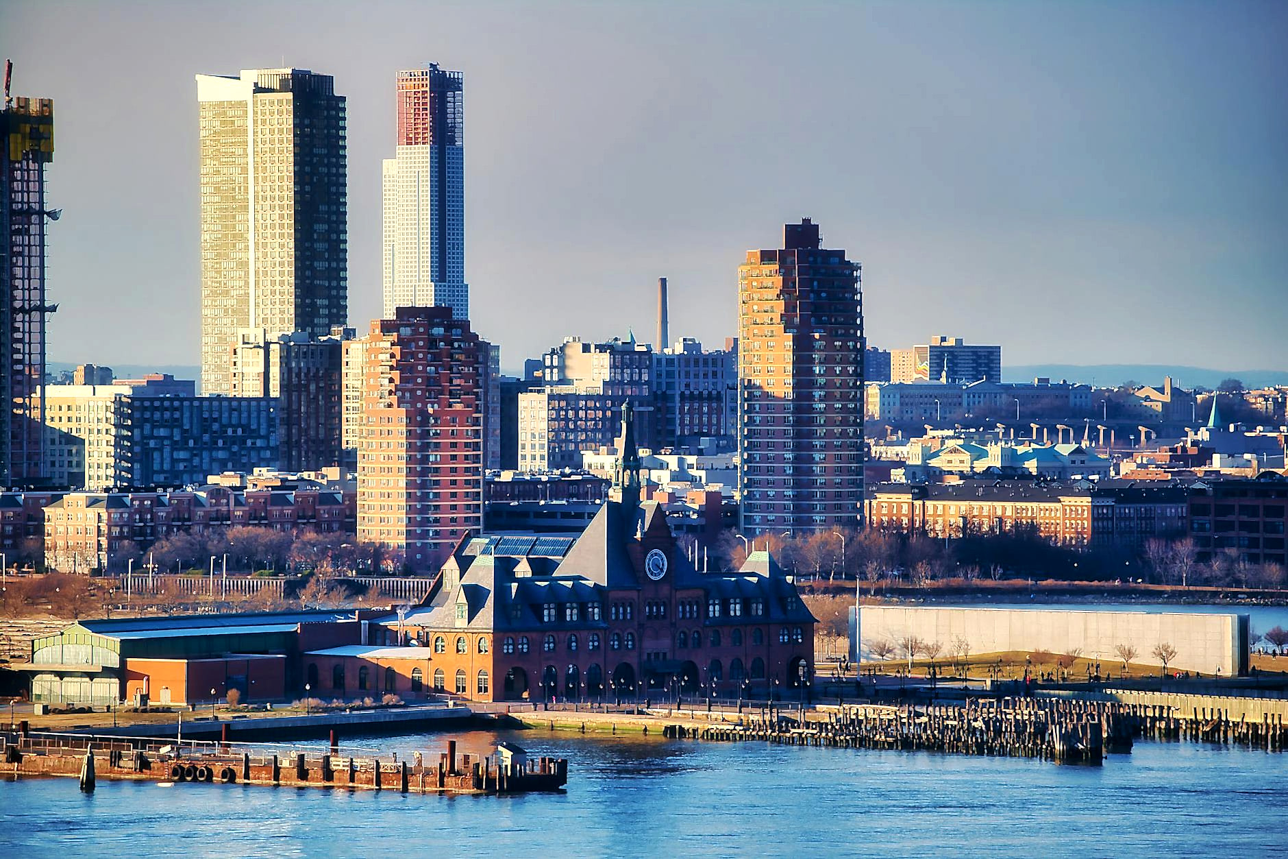
In 2024, Atlantic City recorded 23 days of coastal flooding, the highest number ever documented for the city. In the 1950s, the same tide gauges measured fewer than one flood day per year on average. The tenfold increase is not a statistical anomaly. It is the predictable result of seas that have risen about 1.5 feet since 1912 and are now rising faster than ever.
A new report from the Science and Technical Advisory Panel at Rutgers, released this month and commissioned by the New Jersey Department of Environmental Protection, lays out the latest projections in stark terms. The 155-page document represents contributions from 144 scientists and compiles years of research on sea-level trends and coastal storm behavior.
The findings are sobering. New Jersey is projected to see between 2.2 and 3.8 feet of additional sea-level rise by 2100, with the upper end of that range climbing to 4.5 feet if ice-sheet melt accelerates beyond current projections. For a state with flat barrier islands, dense coastal development, and numerous inlets and wetlands, these numbers represent an existential challenge.
Atlantic City’s tide gauge data illustrates the acceleration underway. While seas rose an average of 1.7 inches per decade over the past century, the rate over the past 15 years has been closer to 4 inches. Part of this reflects global climate trends, but New Jersey faces additional pressure because the land itself is sinking, a phenomenon known as subsidence that amplifies the effects of rising seas.
Looking ahead, the projections grow more alarming. By 2050, Atlantic City could see anywhere from 29 to 148 flood days per year under moderate emissions scenarios. If ice-sheet melt accelerates, that number could reach 178 days, meaning the city would flood more often than not.
The implications extend far beyond the boardwalk. Sea level rise since 1980 has increased the number of New Jersey homes at risk of frequent flooding by approximately 110 percent. An estimated 27,000 additional buildings worth a combined $15 billion now face likely annual flooding.
For shore communities, this represents both a present crisis and a long-term planning challenge. Flood insurance costs are rising. Property values in low-lying areas face uncertainty. Infrastructure built for a different climate, from roads to stormwater systems, requires upgrading or relocation.
The Murphy administration has taken steps to address coastal resilience, including updates to flood mapping, investments in green infrastructure, and participation in regional climate initiatives. But scientists caution that even aggressive action to reduce emissions will not prevent significant sea-level rise in the coming decades, given the lag time built into the climate system.
The report also notes that storm patterns are changing. While predictions about individual storm frequency and intensity carry uncertainty, the combination of higher seas and potentially stronger storms means that flood events could be more severe when they do occur.
For residents and business owners along the Shore, the report reinforces what many have suspected: the flooding that once seemed exceptional is becoming routine. Adapting to this new reality will require investments, policy changes, and in some cases difficult decisions about which areas can be protected and which cannot.
As one researcher involved in the report put it, the question is no longer whether the shore will change but how communities will respond to changes already underway.