


Rutgers Report Warns of Accelerating Sea-Level Rise Along Jersey Shore
A landmark 155-page scientific report details how rapidly rising seas threaten New Jersey's coast and tidal communities statewide.
Human-caused climate change is accelerating sea-level rise in New Jersey, and flood hazards are “rapidly increasing” along the state’s coast as well as in communities near tidal rivers, marshes, and wetlands.
That is the central finding of a landmark report released this month by the Science and Technical Advisory Panel at Rutgers University’s Climate Risk Resource Center. The 155-page document, commissioned by the New Jersey Department of Environmental Protection, represents the third installment produced by the panel since 2016 and incorporates contributions from 144 scientists working across multiple institutions.
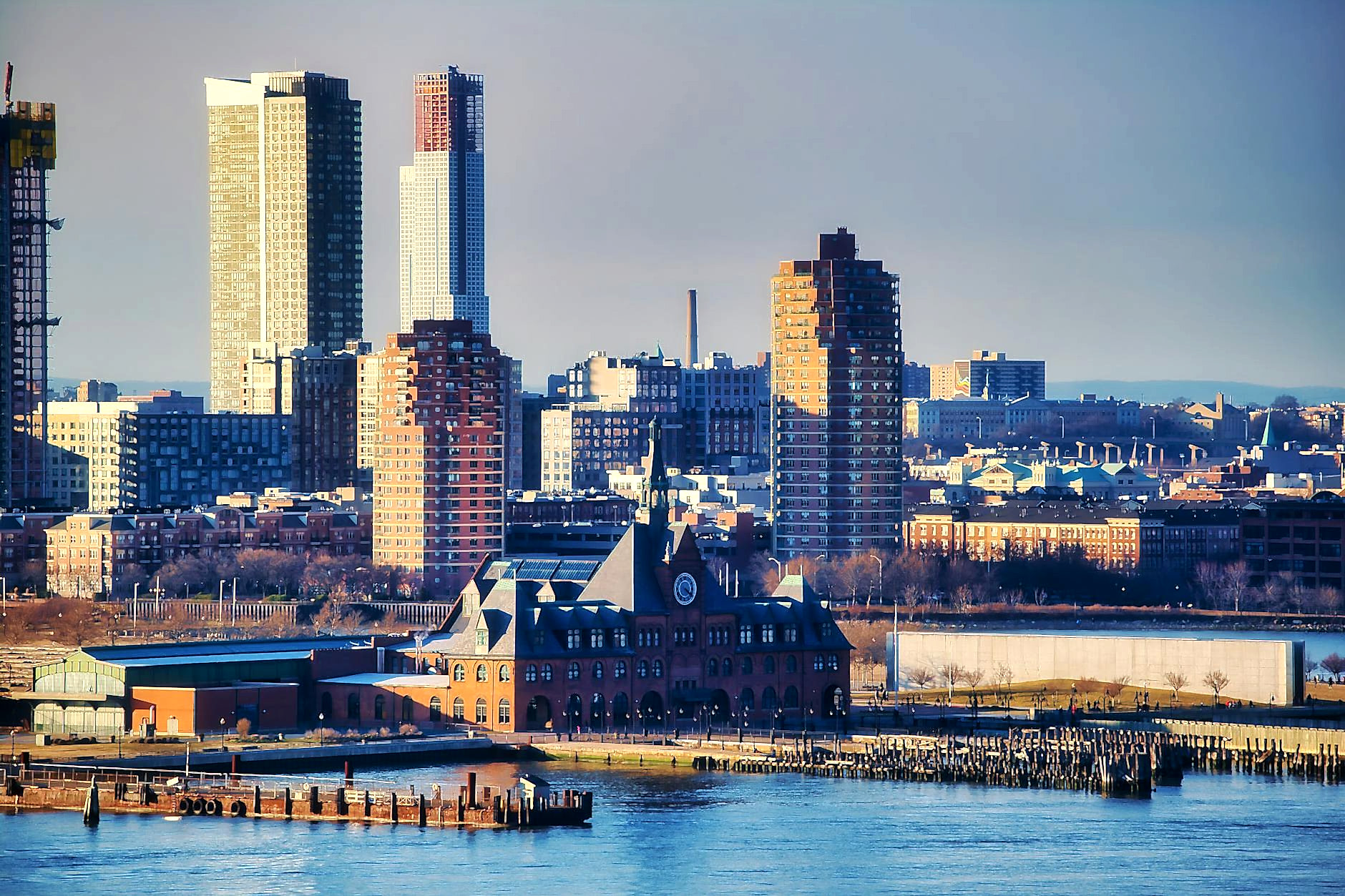
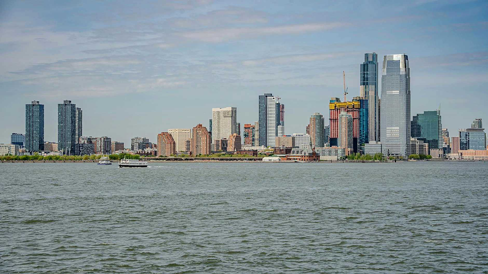
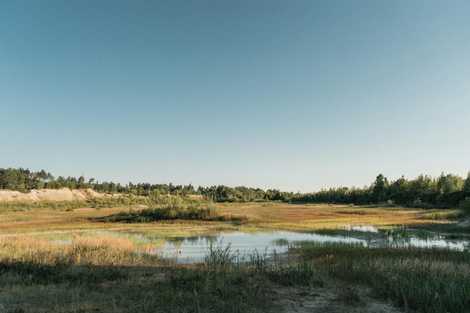
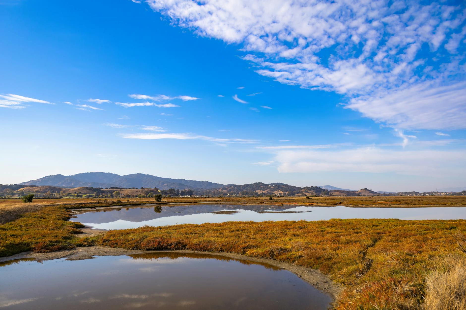
The report compiles the latest research on sea-level trends and coastal storm behavior, presenting a comprehensive picture of climate risk for a state that has more to lose than most. With flat barrier islands, dense coastal development, and numerous inlets and wetlands, New Jersey is especially vulnerable to rising seas.
The projections are stark. Under moderate emissions scenarios, New Jersey faces between 2.2 and 3.8 feet of sea-level rise by 2100. If ice-sheet melt accelerates beyond current projections, that upper bound could reach 4.5 feet. Even the lower end of that range would transform coastal communities and require fundamental changes in how the state approaches development, infrastructure, and emergency planning.
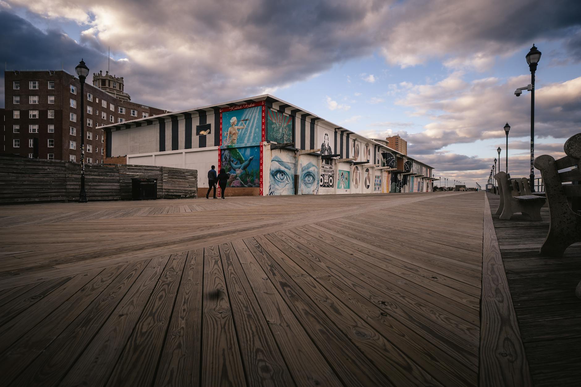
The acceleration is already visible in tide gauge data. Seas at Atlantic City rose about 1.5 feet from 1912 to 2021, an average rate of 1.7 inches per decade. That was already about three times faster than the global average, largely because New Jersey’s land is sinking due to geological processes. But over just 15 years ending in 2020, the gauges recorded a rise of about 4 inches, more than double the century-long average rate.
The report forecasts that an intermediate emissions scenario would lead to 2.9 to 4.7 inches of sea-level rise per decade between 2040 and 2060, potentially increasing to as much as 5.6 inches per decade between 2080 and 2100. These are not abstractions. They translate directly into more frequent flooding, higher storm surges, and greater erosion along the 130 miles of New Jersey coastline.
The frequency of coastal flood days on the Jersey Shore has already increased more than tenfold since the 1950s. Communities that once experienced such flooding rarely now see it multiple times per year. The trend will continue regardless of near-term emissions reductions, given the lag time built into the climate system.
For policymakers, the report underscores the need for both mitigation and adaptation. Reducing greenhouse gas emissions remains essential to limiting the worst outcomes, but significant sea-level rise is now locked in for decades to come. Planning decisions made today will determine how well communities can cope with conditions that have already been set in motion.
Governor Phil Murphy has made climate action a priority during his administration, including an updated energy master plan released just this week that continues to emphasize renewable energy development despite headwinds facing offshore wind projects. The new report will inform future policy decisions and provide scientific grounding for regulatory updates, including potential changes to flood zone mapping and building codes.
For coastal residents, the implications are personal. Homes purchased decades ago with no expectation of regular flooding now face different calculations. Property values, insurance costs, and infrastructure investments all hinge on how quickly seas rise and how communities respond.
The report is available through the New Jersey Climate Risk Resource Center at Rutgers.